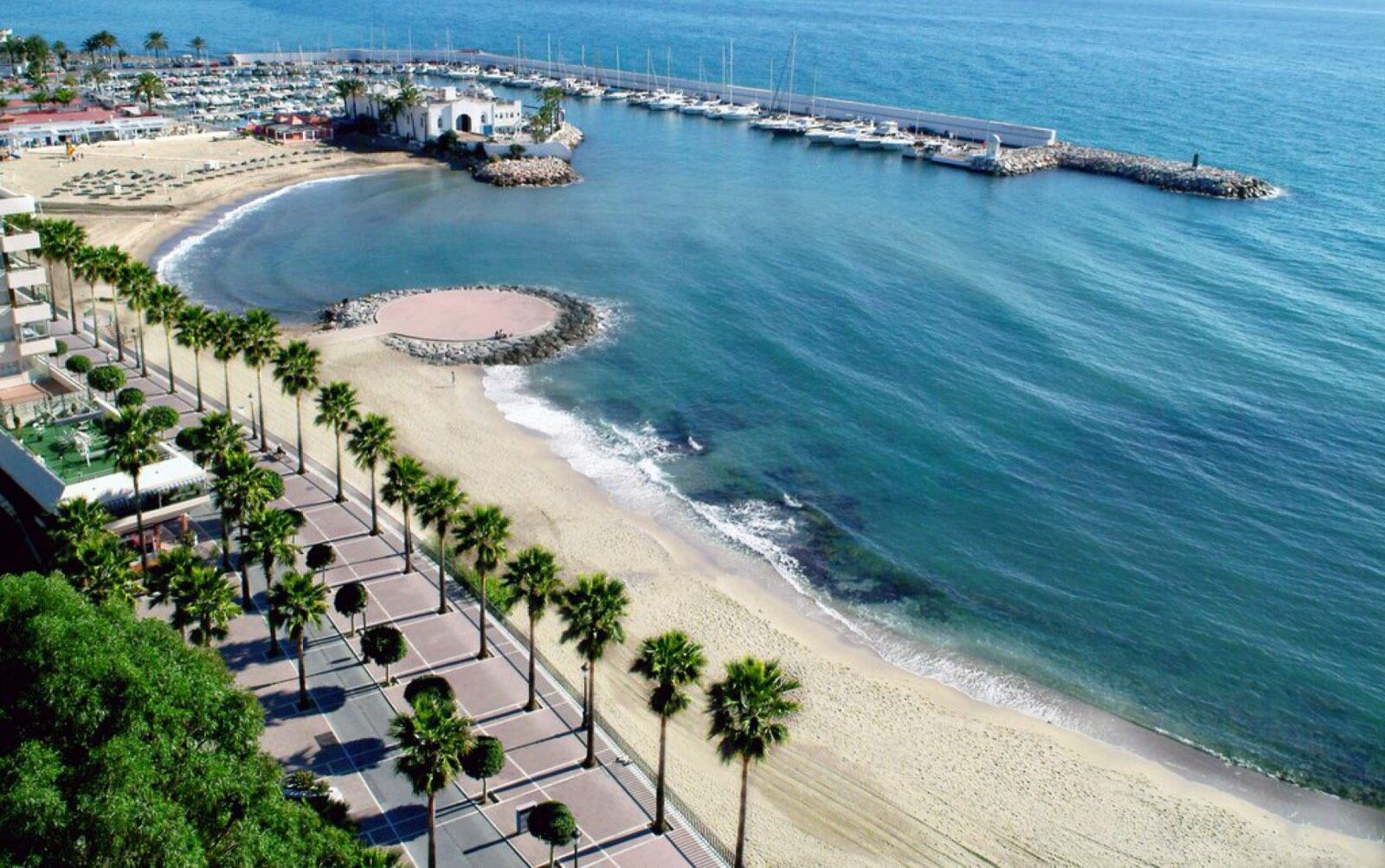
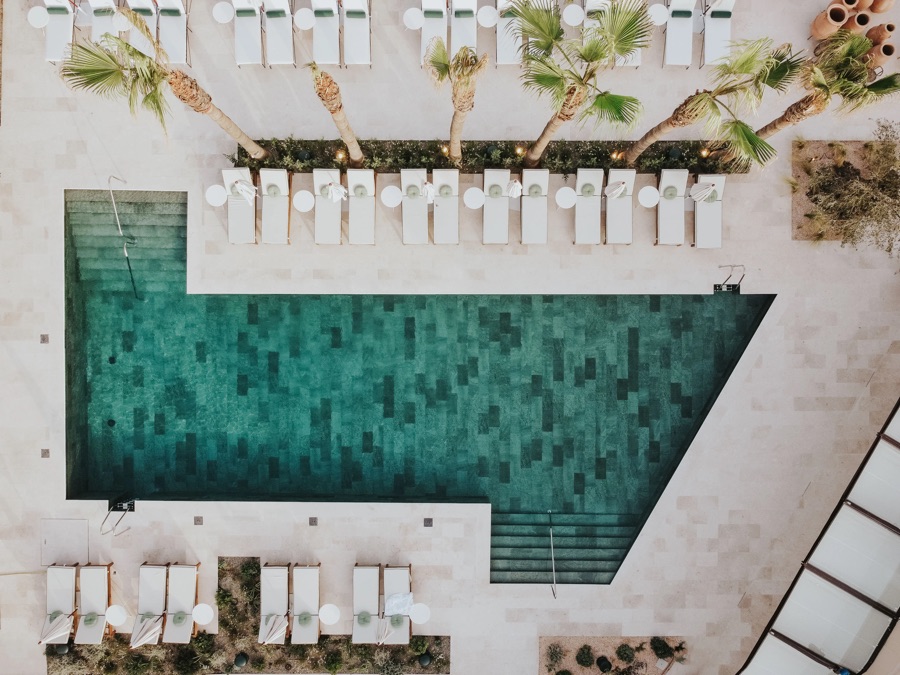
 photos: Barbillón Marbella official website (barbillon.com) · unretouched
Playa de Guadalmina
Source: Junta de Andalucía, Consejería de Sanidad, Presidencia y Emergencias, 2026-08-14
Chiringuitos here
Guides
Marbella runs 27 kilometres of coast, Guadalmina to Cabopino. Every beach below carries the official Spanish bathing-water rating for the water in front of it, sourced and dated, and every one of the 43 chiringuitos in our census is linked to the beach it actually stands on.
15 of the 16 stretches below rate excellent on the official bathing-water register, so the water will not pick your beach for you. What stands behind the sand will. 4 honest picks from our own census:
The one asterisk: Playa de Los Monteros has no bathing-water zone of its own in the Junta's register, so no rating is claimed for it here.
Spain classifies bathing water by official zone, not by every named beach, so one rating can cover several beaches in a row. Where a beach has no zone of its own, that is noted below.
Marbella's western edge, where the coast road meets San Pedro's paseo marítimo before the border with Estepona.
As of August 2026, the only chiringuito in San Pedro de Alcántara & Guadalmina that prints an espeto de sardinas price on its menu, Playa Nini Beach Restaurant, charges €14.50 (Marbella Wire).
Restaurants in this area: guadalmina · san pedro de alcantara
photos: Barbillón Marbella official website (barbillon.com) · unretouchedSource: Junta de Andalucía, Consejería de Sanidad, Presidencia y Emergencias, 2026-08-14
Chiringuitos here
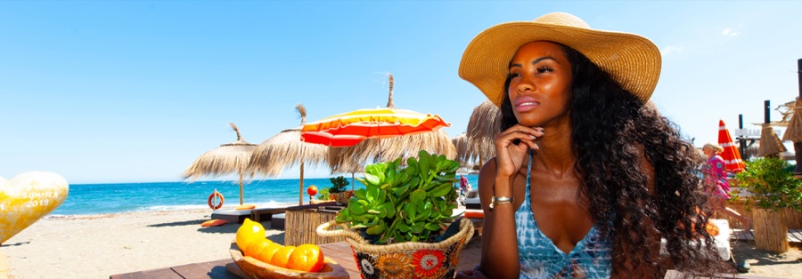 photos: Macaao Beach Club: official website (macaaobeach.com) · unretouched
Covers the full San Pedro paseo, including the Cortijo Blanco and Linda Vista stretches.
Source: Junta de Andalucía, Consejería de Sanidad, Presidencia y Emergencias, 2026-08-14
Chiringuitos here
The marina and the beach either side of it. Puerto Banús's own rating covers the water at the harbour mouth; Nueva Andalucía covers the sand to its east, sometimes marketed as Levante.
Restaurants in this area: puerto banus · nueva andalucia
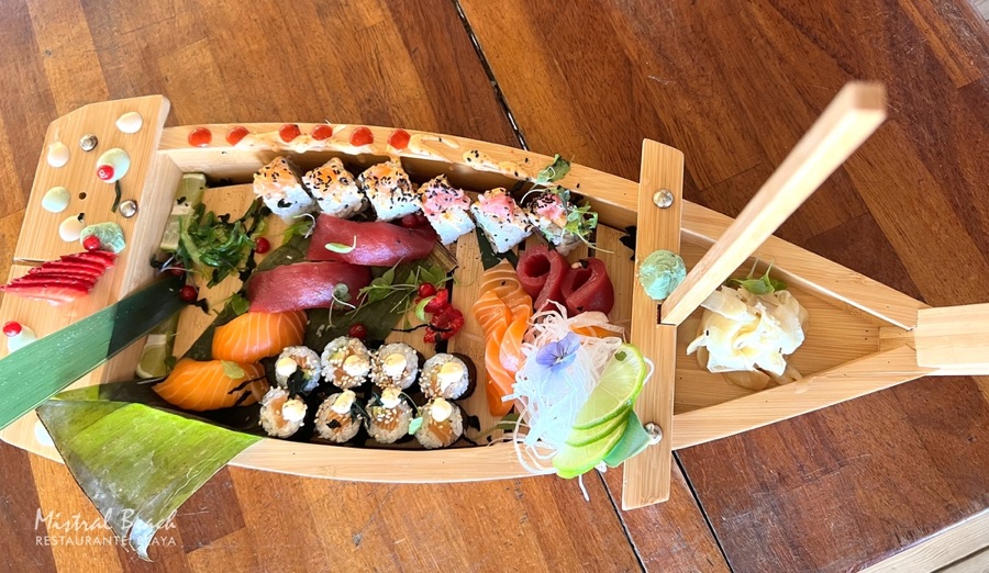 photos: Google Places · unretouched
Source: Junta de Andalucía, Consejería de Sanidad, Presidencia y Emergencias, 2026-08-14
Chiringuitos here
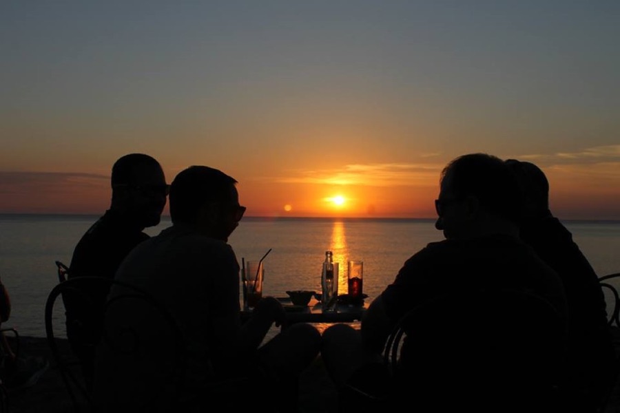 photos: Google Places · unretouched
Locally also called Levante, for the marina's eastern breakwater.
Source: Junta de Andalucía, Consejería de Sanidad, Presidencia y Emergencias, 2026-08-14
Chiringuitos here
Milla de Oro: the stretch between Puerto Banús and Marbella centro, backed by five-star hotels and beach clubs. The Junta's register rates only two zones on this stretch, Nueva Andalucía and Nagüeles; the beaches between them share whichever neighbour's water actually reaches them, with no zone of their own.
As of August 2026, an espeto de sardinas at a chiringuito in The Golden Mile costs between €14 and €28, across the 4 beach bars there that print the price on their menu (Marbella Wire).
Restaurants in this area: golden mile
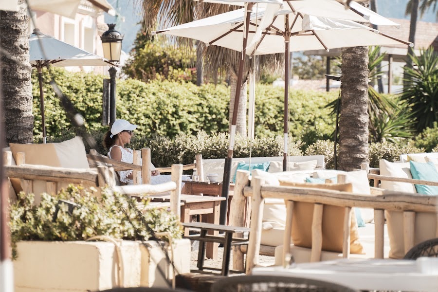 photos: Google Places · unretouched
No zone of its own; the nearest classified water is the Nueva Andalucía zone, immediately west.
Source: Junta de Andalucía, Consejería de Sanidad, Presidencia y Emergencias, 2026-08-14
Chiringuitos here
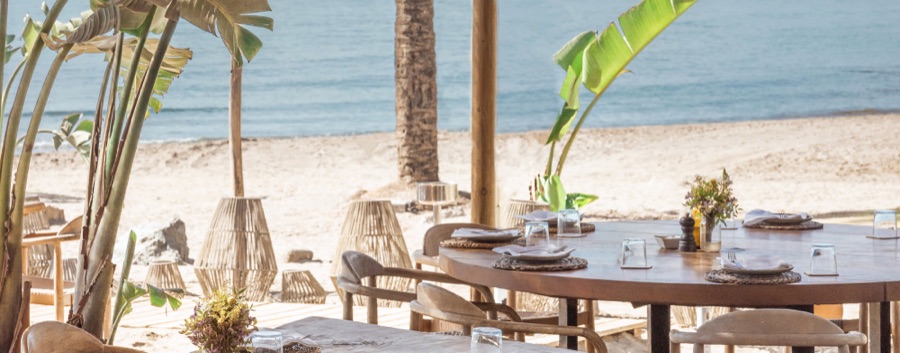 photos: Puente Romano Beach Resort (official website, puenteromano.com) · unretouched
Includes the water in front of the Puente Romano resort.
Source: Junta de Andalucía, Consejería de Sanidad, Presidencia y Emergencias, 2026-08-14
Chiringuitos here
 photos: Google Places · unretouched
No zone of its own; the nearest classified water is the Nagüeles zone, immediately east.
Source: Junta de Andalucía, Consejería de Sanidad, Presidencia y Emergencias, 2026-08-14
Chiringuitos here
 photos: Google Places · unretouched
No zone of its own; the nearest classified water is the La Fontanilla-Faro zone, immediately east.
Source: Junta de Andalucía, Consejería de Sanidad, Presidencia y Emergencias, 2026-08-14
Chiringuitos here
The town beach, either side of the old fishing harbour: La Fontanilla to the west of the port, El Faro and La Bajadilla to the east of it.
As of August 2026, an espeto de sardinas at a chiringuito in Marbella Centro costs between €4 and €14, across the 6 beach bars there that print the price on their menu (Marbella Wire).
Restaurants in this area: marbella centro
 photos: Google Places · unretouched
Source: Junta de Andalucía, Consejería de Sanidad, Presidencia y Emergencias, 2026-08-14
Chiringuitos here
 photos: Google Places · unretouched
A separate zone from La Fontanilla-Faro above: the water right at the harbour breakwater is classified on its own.
Source: Junta de Andalucía, Consejería de Sanidad, Presidencia y Emergencias, 2026-08-14
Chiringuitos here
 photos: Google Places · unretouched
Source: Junta de Andalucía, Consejería de Sanidad, Presidencia y Emergencias, 2026-08-14
Chiringuitos here
East of the marina and the bullring, where Marbella centro gives way to Río Real and the golf-course coast beyond it.
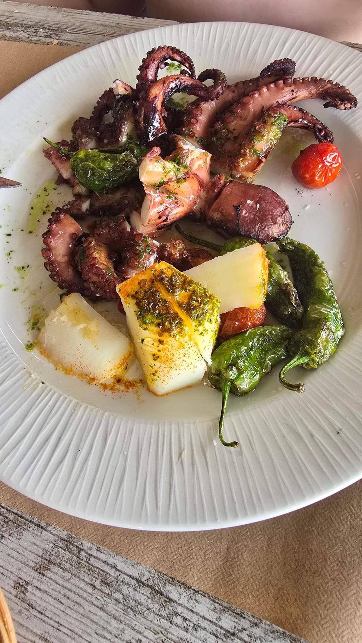 photos: Google Places · unretouched
Source: Junta de Andalucía, Consejería de Sanidad, Presidencia y Emergencias, 2026-08-14
Chiringuitos here
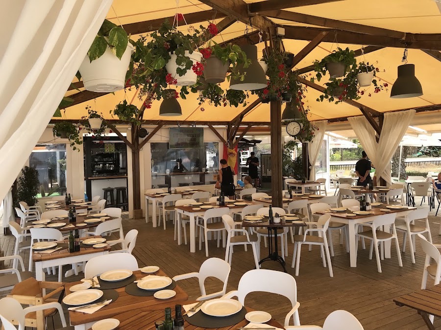 photos: Google Places · unretouched
New to the Junta's register for the 2026 season: its sampling points changed this year, so there is not yet a four-season run of results to classify against. Every 2026 sample so far has passed inspection.
Source: Junta de Andalucía, Consejería de Sanidad, Presidencia y Emergencias, 2026-08-14
Chiringuitos here
The Costa Bella and Elviria beachfront, east of Los Monteros and the Río Real golf coast. There is no separate Elviria or El Rosario zone in the Junta's register; this whole run of coast is rated as part of the wider Las Chapas zone.
Restaurants in this area: el rosario · elviria
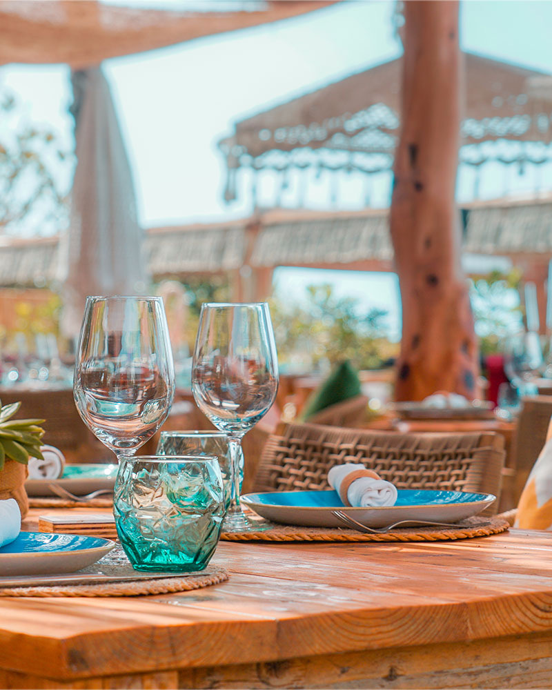 photos: Google Places · unretouched
Source: Junta de Andalucía, Consejería de Sanidad, Presidencia y Emergencias, 2026-08-14
Chiringuitos here
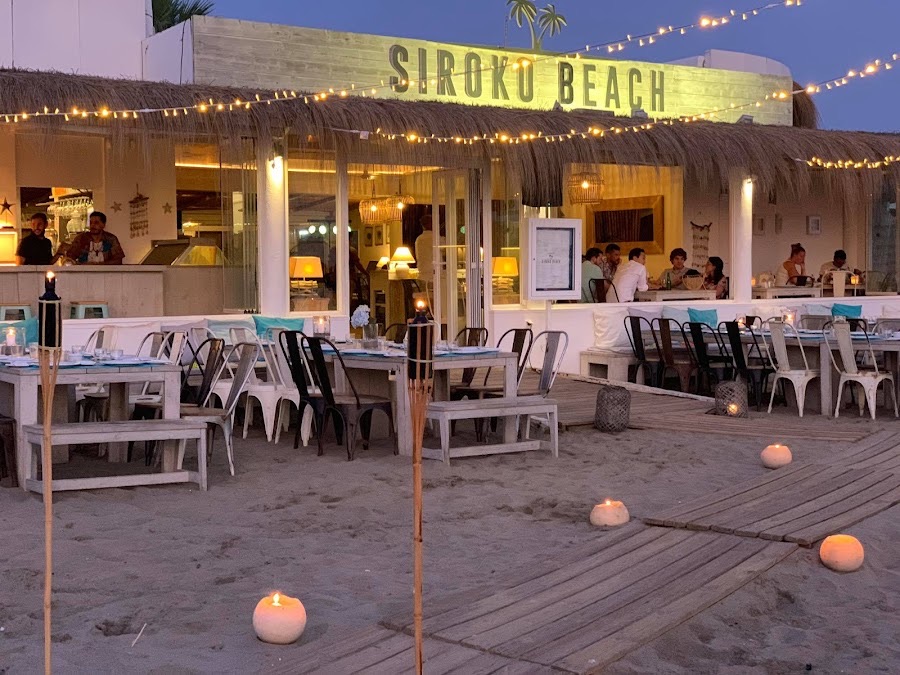 photos: Google Places · unretouched
Includes the Real de Zaragoza stretch, in front of the Urbanización Golden Beach.
Source: Junta de Andalucía, Consejería de Sanidad, Presidencia y Emergencias, 2026-08-14
Chiringuitos here
Marbella's eastern tip, at the marina and pine woods bordering Mijas.
Restaurants in this area: cabopino
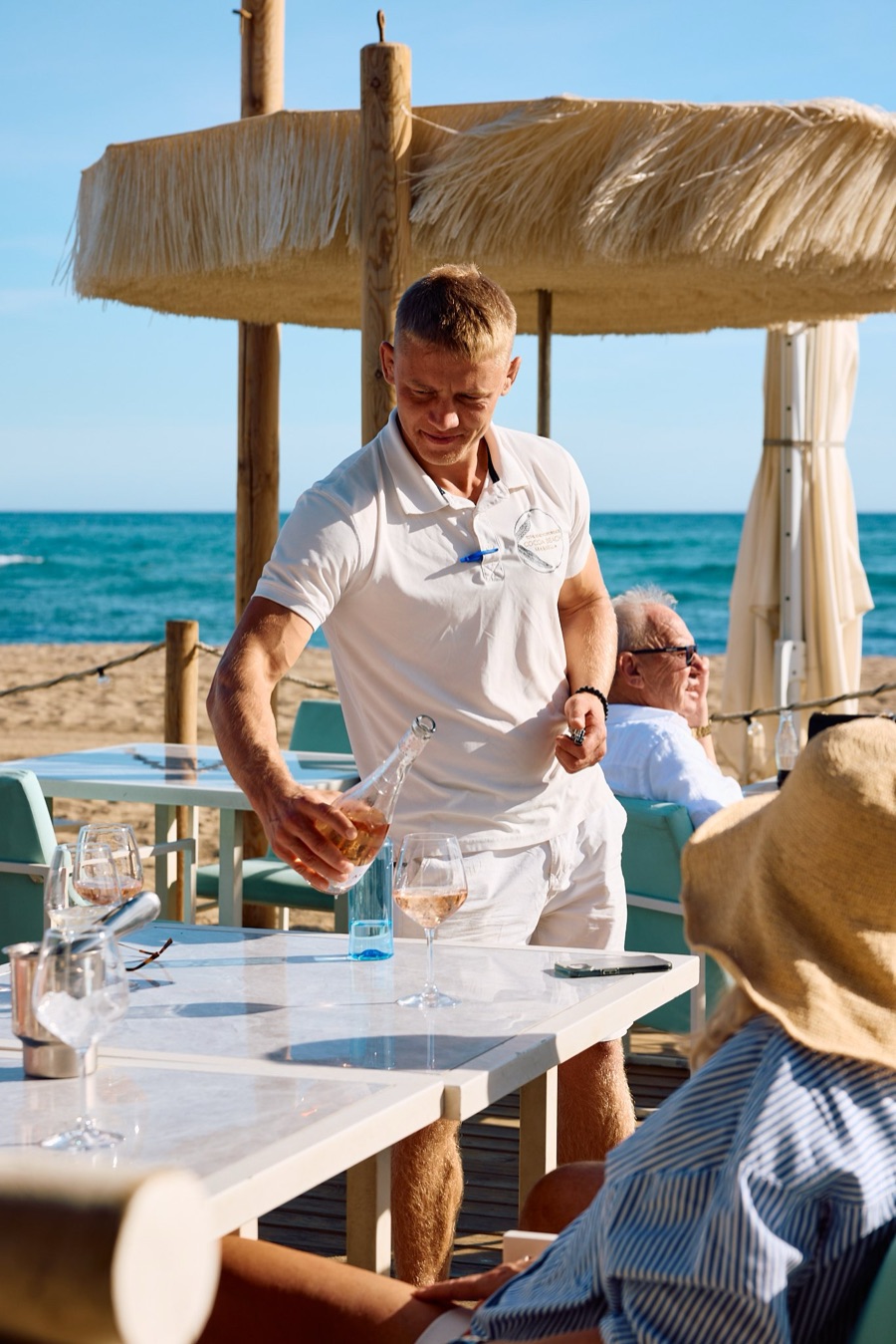 photos: Cocoa Beach Marbella (own website, cocoamarbella.com) · unretouched
Source: Junta de Andalucía, Consejería de Sanidad, Presidencia y Emergencias, 2026-08-14
Chiringuitos here
The 100: the shortlist ·Málaga Airport to Marbella: every way in ·Marbella to Gibraltar: the day trip ·The full chiringuito census · Pool clubs and pool parties in Marbella → · The sunbed index · Sea temperature in Marbella, month by month